Featured

1 Year Unlimited RTK Rover - Ntrip Only Account
This Membership includes unlimited 24/7 access to RTK in all C4G Real-Time Networks in Louisian..
$3,500.00

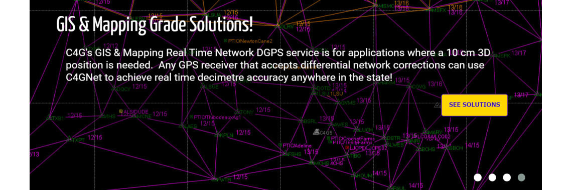
GIS Network DGPS/DGNSS Unlimited - Ntrip Account
DGPS/DGNSS membership includes unlimited 24/7 access to all C4G Real-Time Networks in Louisiana..
$995.00

RINEX SHOP 1 second data
The C4G RINEX Shop is a Web-based application allowing field users easy access to post processing fi..
$1,500.00

Full RTN Membership
This Full Membership includes unlimited 24/7 access to RTK - Ntrip - Post-Processing data & VRS ..
$5,000.00