Mapping & GIS Products
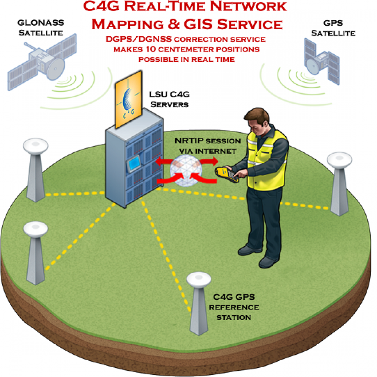
DGPS/DGNSS membership includes unlimited 24/7 access to all C4G Real-Time Networks in Louisiana. No access to post processing CORS or VRS data will be available with this option.
DGPS/DGNSS accounts can be used with any single frequency (L1) GPS receiver capable of receiving corrections from the Internet from an NTRIP server.
Data obtained in DGPS/DGNSS mode can be used for:
GIS & Mapping applications
Precision navigation
Hydrography
Fleet management
Precise positioning of agricultural machines
Agricultural land determination
Ecology, Environmental and Water protection
Various areas of research and more!